
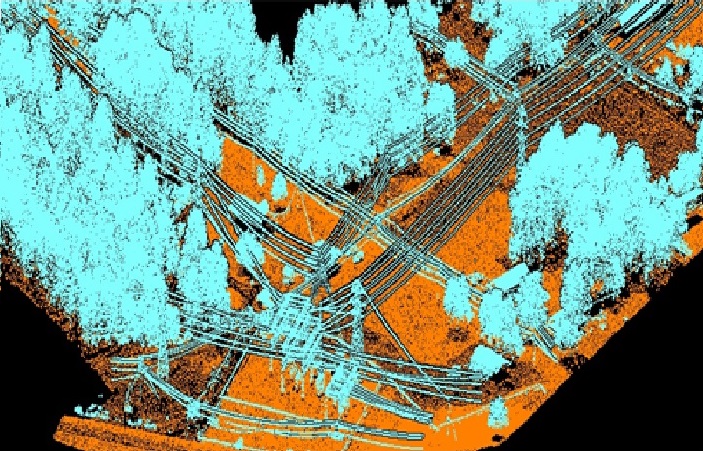
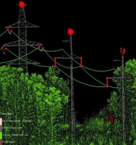
We have processes both transmission and distribution powerline projects from ALS, MLS and LiDAR acquired via drones. A typical project scope of powerline project that we have processed the LiDAR to is:
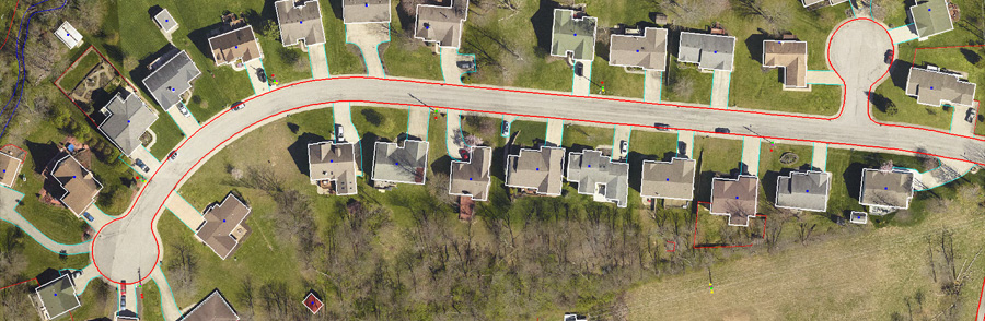
We prepare a drawing of features with best possible accuracies from reference of point cloud and orthophotos for features listed in the specification of a customer. Few such typical features for which we prepare a planimetric drawing in CAD format are:
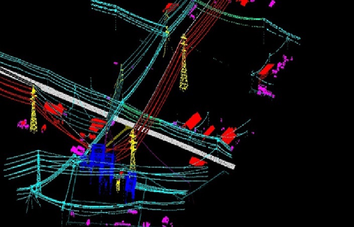
We place point of attachments for both transmission and distribution lines and string the conductors including the underbuilds.
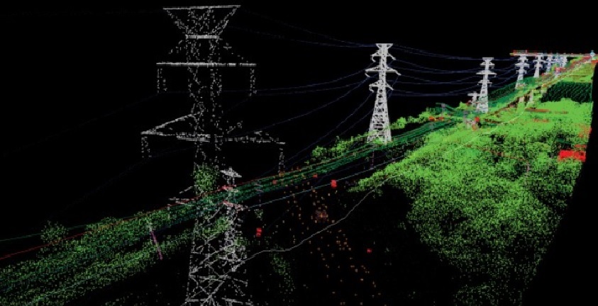
After the points are finalized in classification process and edge checked for continuity of features across the plan edge, they are then imported to PLS-CADD to create “.bak” file per circuit. Based upon the feature code file of client LiDAR classes are mapped to the feature codes in PLS class. The POAs are similarly exported out of CAD to text format with appropriate feature codes. Coordinate system and units are set in PLS CADD followed by import of LiDAR and POAs. Planimetric drawing in dxf format and orthophotos for the circuit are attached to it. Finally a backup file is saved with appropriate naming convention as specified in the project specification.

Want to get a quotation? Please fill out the form. Here’s how to can reach us.