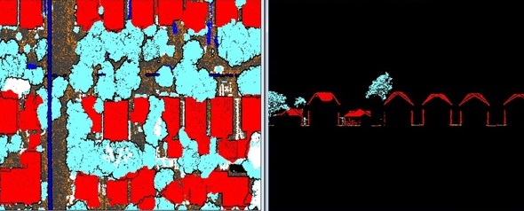
The scope here is to classify almost everything that is identifiable from LiDAR. We have experience of performing many square miles of wide area projects. What we do in detailed classification projects is:
Classify ground, road, rail, parking, driveways, water
Classify buildings, sheds, civil structures
Classify powerline infra like poles, wires, lamp posts
Classify sign, signals and billboards
Separate noise to a different class
Ensure that vegetation class has no non-vegetated features.
Get Quote
Want to get a quotation? Please fill out the form. Here’s how to can reach us.